Skip to content

[:sl]Pohod na Nanos[:en]The Nanos Hiking Trail[:fr]La randonnée sur le Nanos[:]

GoreSlider

[:sl]

Nanos (iz vasi Razdrto)

Nanos (iz vasi Razdrto)Nanos je visoka kraška planota, ki se strmo dviga nad Postonjsko kotlino in Vipavsko dolino. Ima več vrhov, najbolj popularen pa je razgledni rob ob televizijskem oddajniku in Vojkovi koči na Nanosu. Izbrali smo vzpon preko strmejše in zahtevnejše poti ter spust mimo simpatične cerkvice Sv. Hieronima, ki je relativno enostaven. Razgled ob lepem vremenu je prvovrsten.

Izhodišče:
Poberemo vas pred vašo nastanitvijo oziroma na dogovorjeni točki.

Opis poti:
Ob parkirišču prečkamo avtocesto, kjer zagledamo prve planinske oznake. Zavijemo levo in enostavno sledimo markacijam oz. oznakam za Vojkovo kočo. Na začetku prečkamo travnik in kmalu pridemo do označenega mesta, kjer se pot razdeli na ‘strmo’ in ‘položno’. Nadaljujemo po strmi poti (desno), ki se najprej zložno vzpenja po senčnem gozdičku, višje pa se strmina poveča in začnejo se prehodi, zavarovani z jeklenicami. Potrebna je previdnost (še posebej v mokrem), pogosto pa nas bo hladil tudi veter, zato bodimo primerno opremljeni. Razgled je z vsakim korakom lepši in po golem vršnem delu pridemo do oddajnika, za katerim se v gozdičku skriva Vojkova koča.

Od oddajnika nadaljujemo po položni potki, ki poteka po travnatem grebenu v smeri Vipavske doline (severo-zahod). Tik pred cerkvico Sv. Hieronima pa nas smerokaz usmeri na pot, ki preči pobočje nazaj v smeri Razdrtega. Kmalu pridemo v prijeten gozd in se po tehnično enostavni poti vrnemo v izhodišče. V spodnjem delu spusta bodimo pozorni le na neoznačenem razpotju pred majhnim travnikom (ca. 750 mNV), kjer gremo levo!

Cilj:
Vojkova koča na Nanosu: 1240 m

Trajanje:
Razdrto – Vojkova koča na Nanosu (strma pot): 1.30 h
Kosilo na vrhu (koča) 1 h (ni vključeno v ceno)
Vojkova koča na Nanosu – Razdrto (položna pot, mimo Sv. Hieronima): 1.30 h
Skupaj: 4 h

Zahtevnost:
3 – Opisana pot vzpona je mestoma delno zahtevna. Pot (razen na enem kratkem prehodu) sicer ni izpostavljena, vendar je kar nekaj delov, ki so zavarovani z jeklenicami in kjer si je potrebno pomagati z rokami. Na nekaterih mestih se tistim z vrtoglavico ne bo zdelo preveč zabavno. Celotna opisana pot spusta je tehnično enostavna.

Cena:
1 oseba = 100€
2 osebi = 80€/na osebo
3-5 oseb = 70€/na osebo
6+ oseb = 60€/na osebo

[:en]
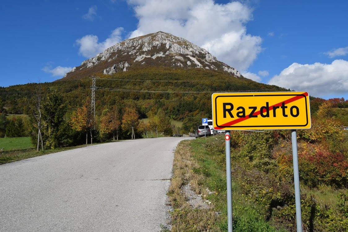
Nanos (Starting point: Razdrto)

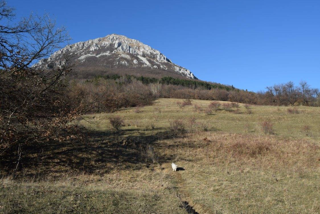
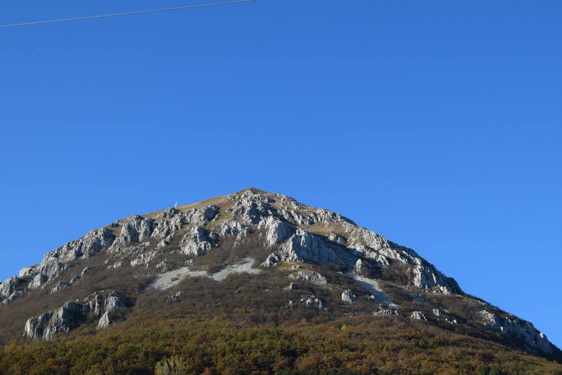
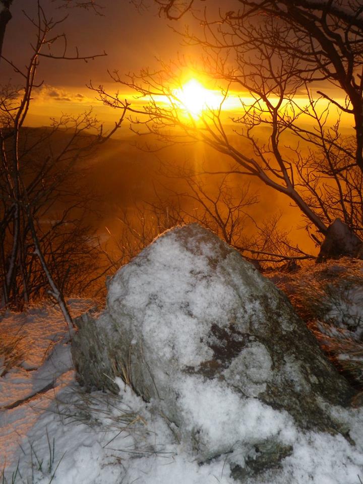
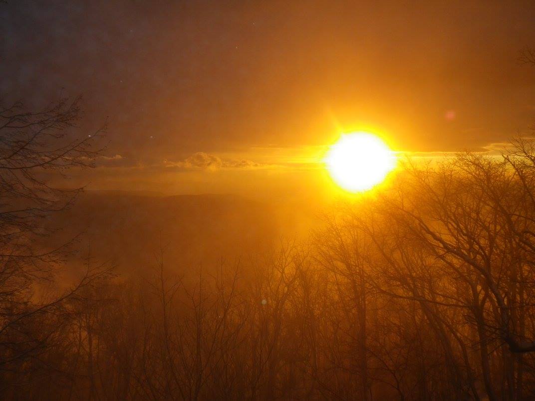
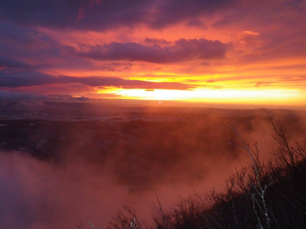
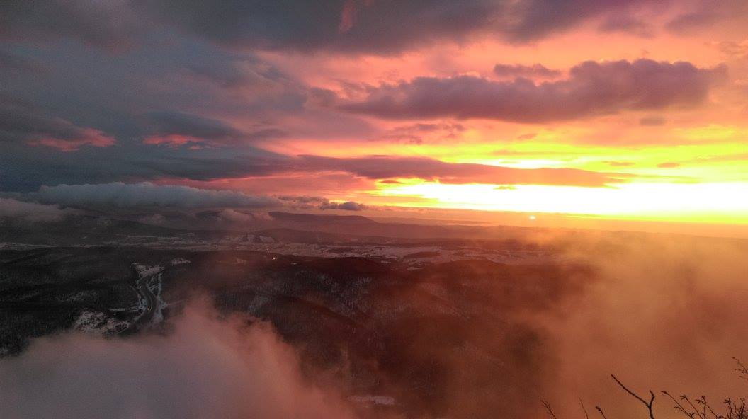
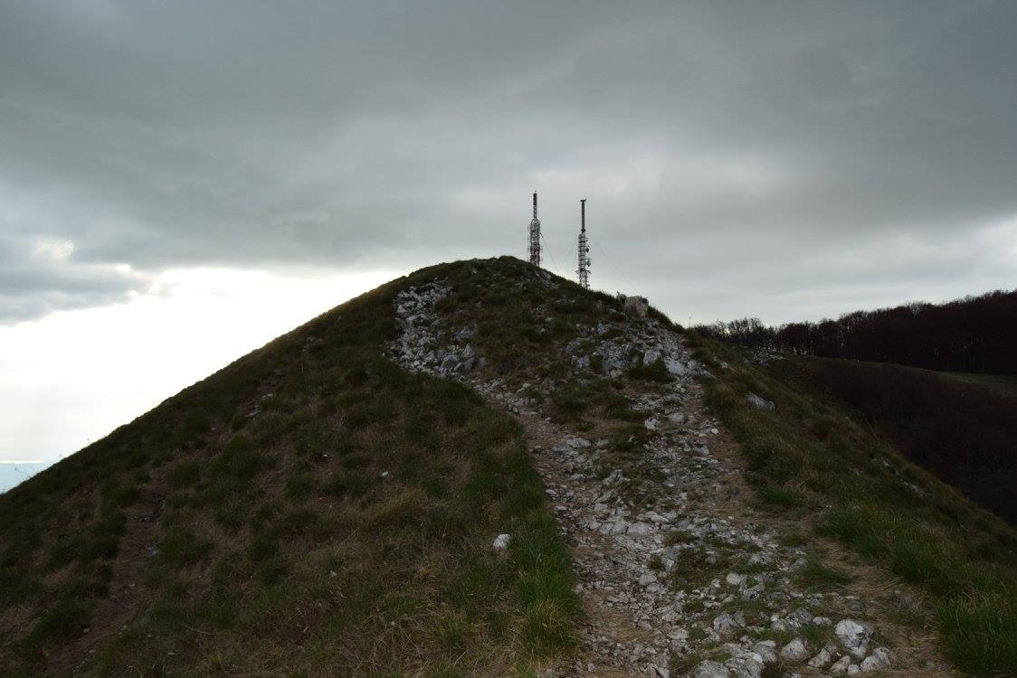
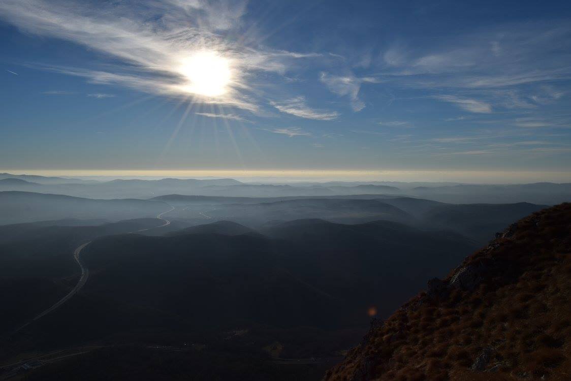
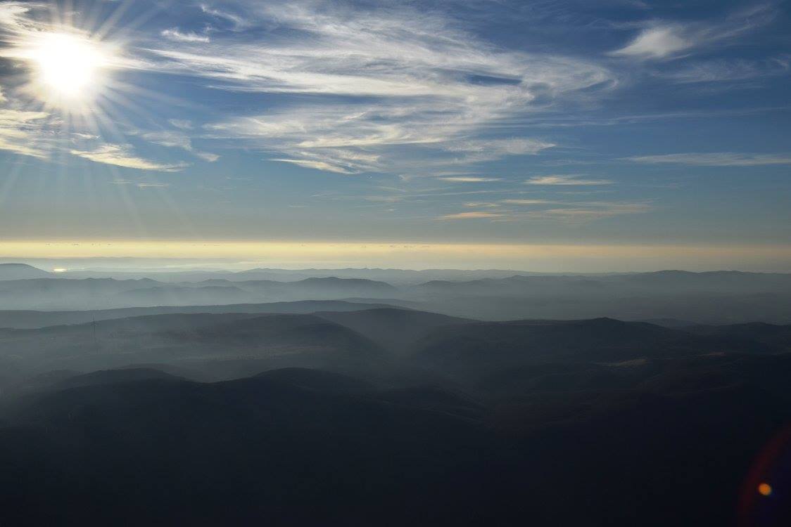
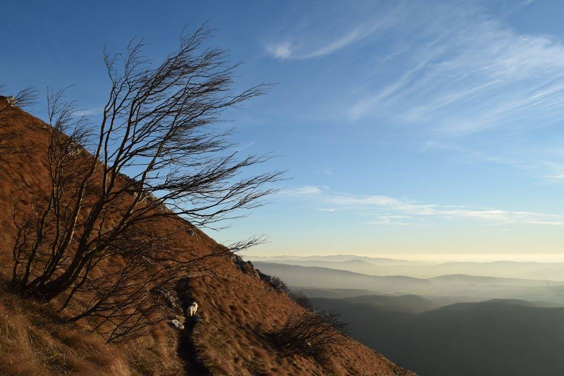
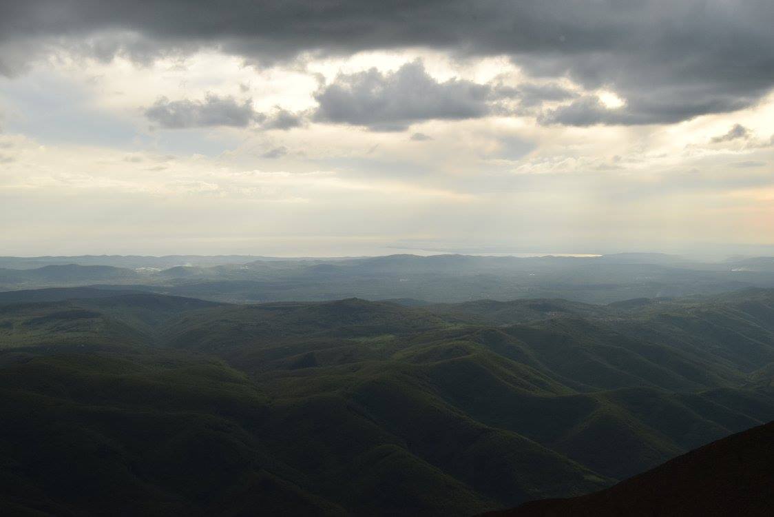
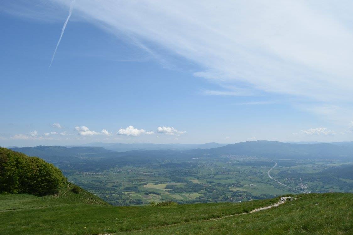
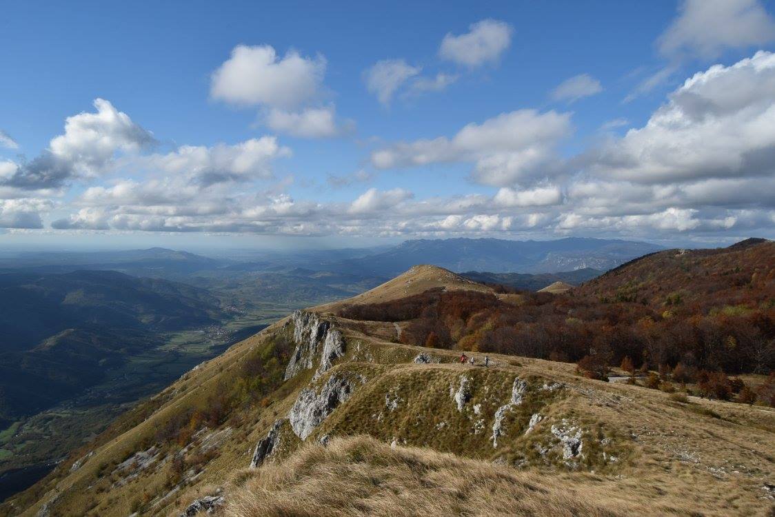
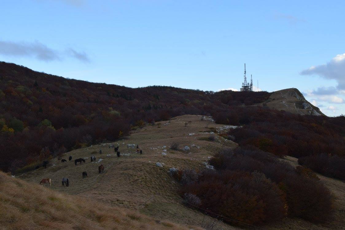
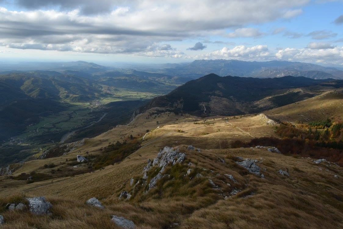
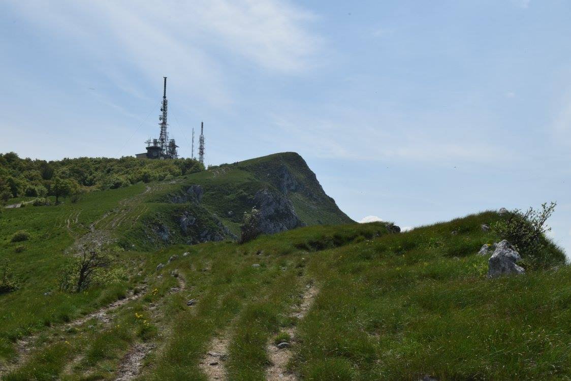
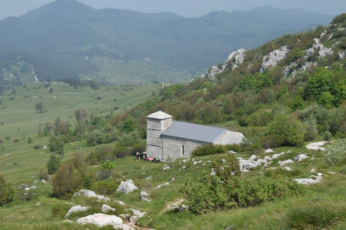
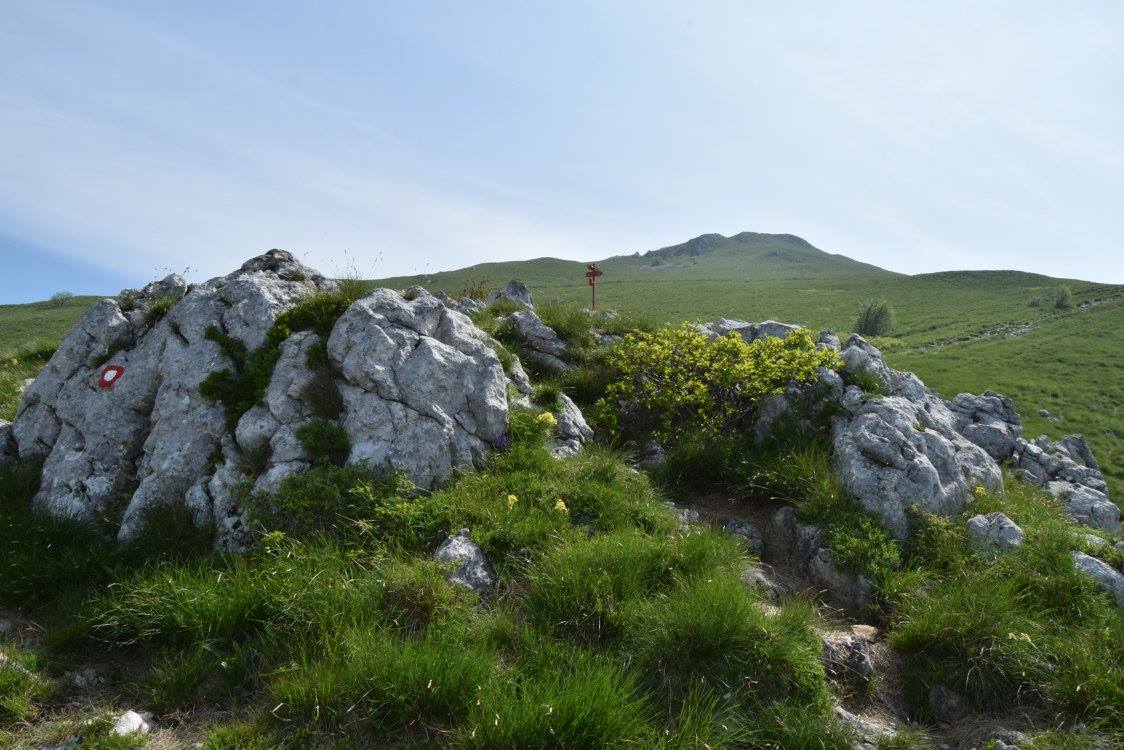
Nanos is a high karst plateau, which rises steeply above the Postojna basin and the Vipava Valley. It comprises several distinct peaks of which the most popular is the lookout point by the transmitter mast and the Vojko mountain cabin (Vojkova koča). We will hike up on a little steeper and more demanding trail and go back down an easier one, which goes past a cute church of St. Hieronymus. In fine weather, there is a magnificent view of the surrounding landscape.

Starting point:

You will be picked up at your place of accommodation or any other pre-agreed place.

Route description:

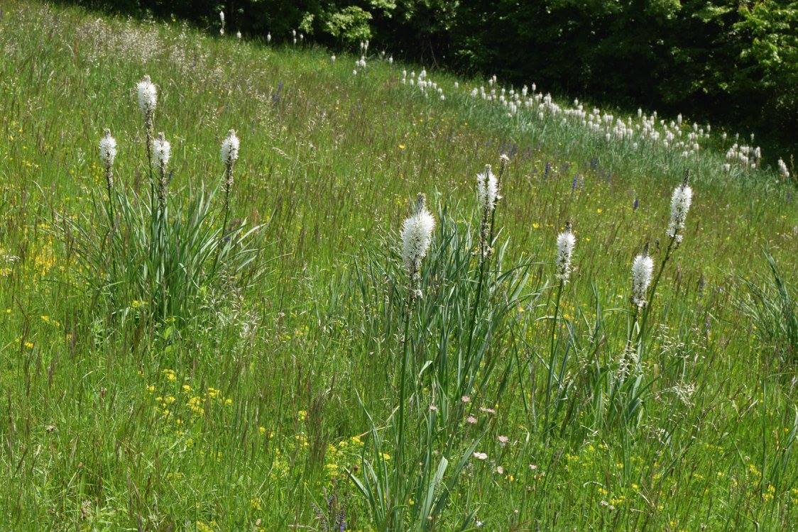
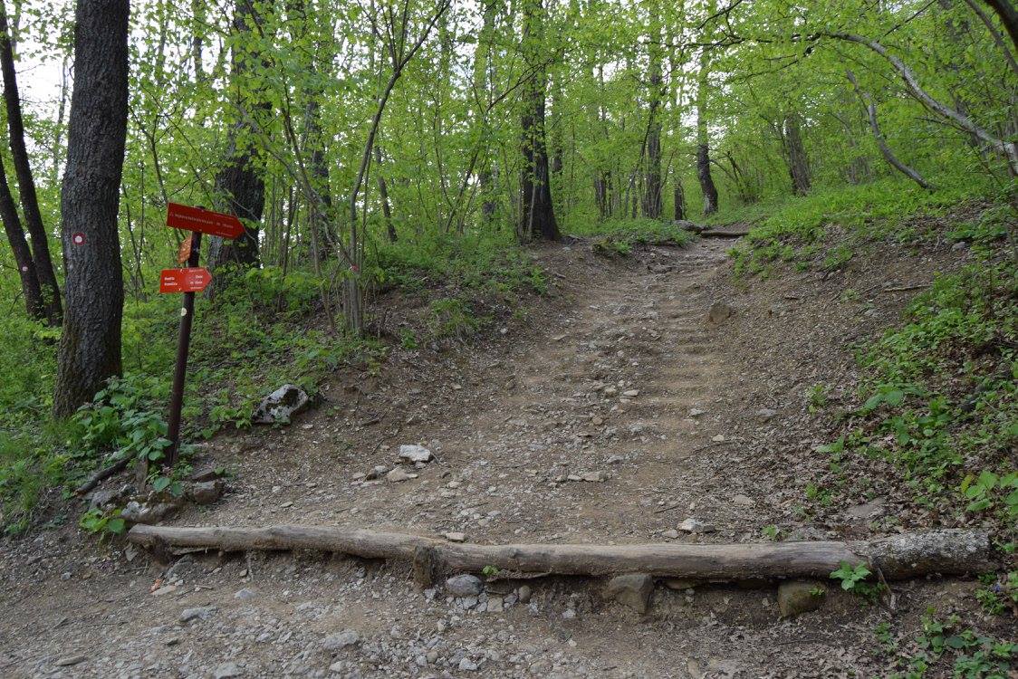
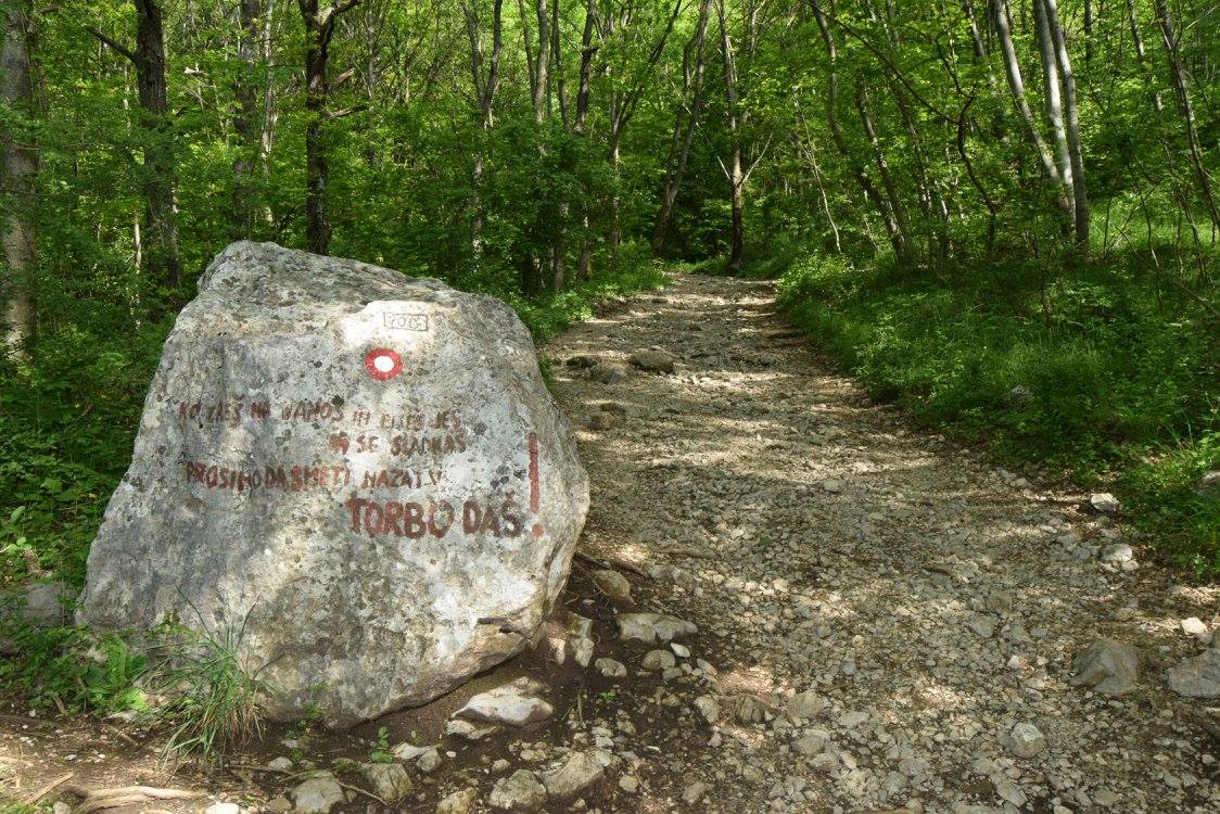
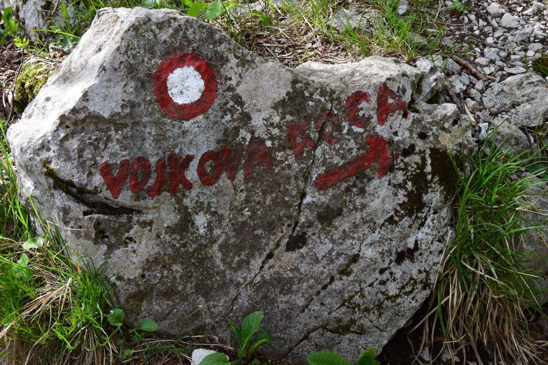
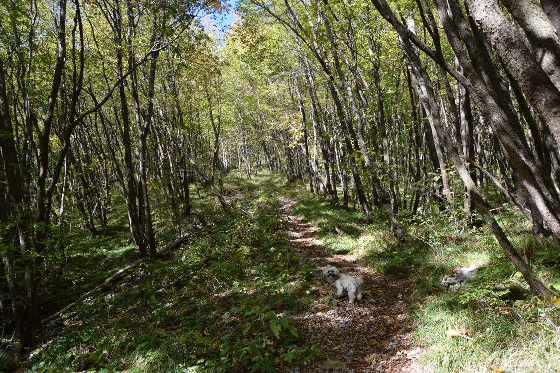
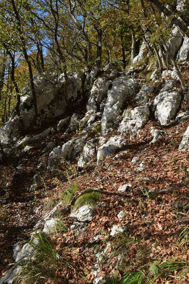
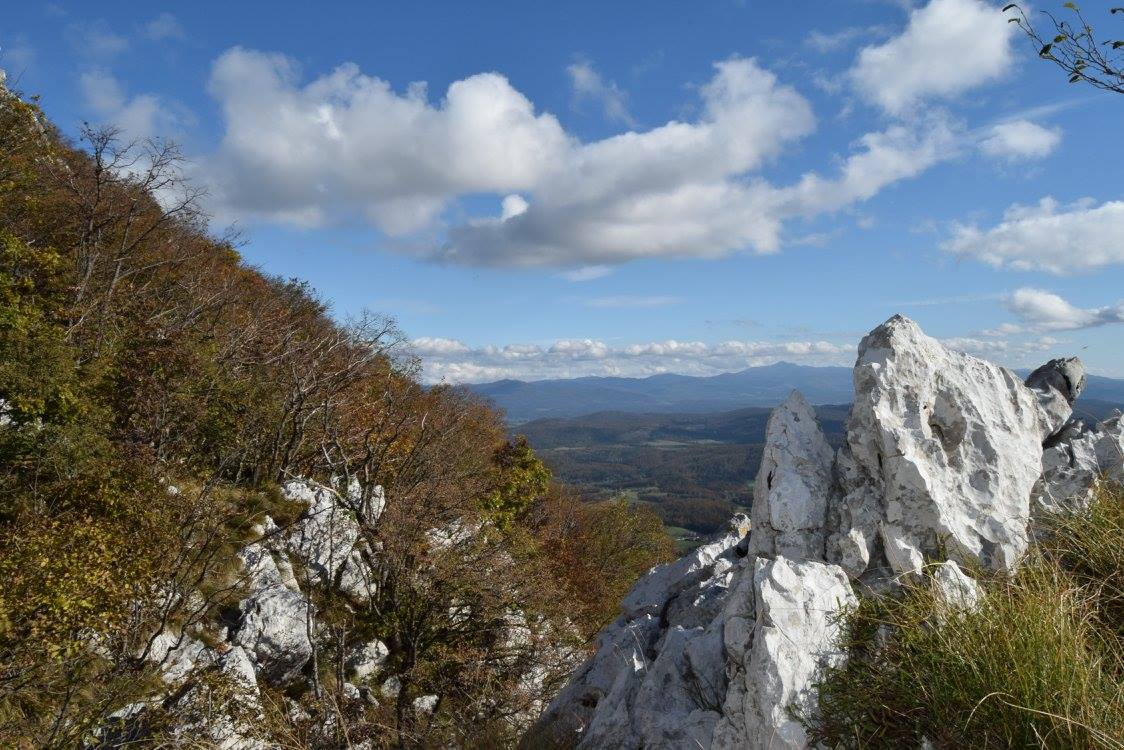
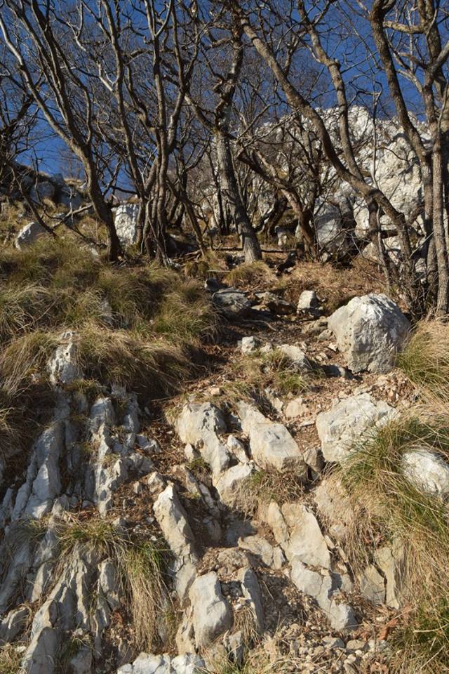
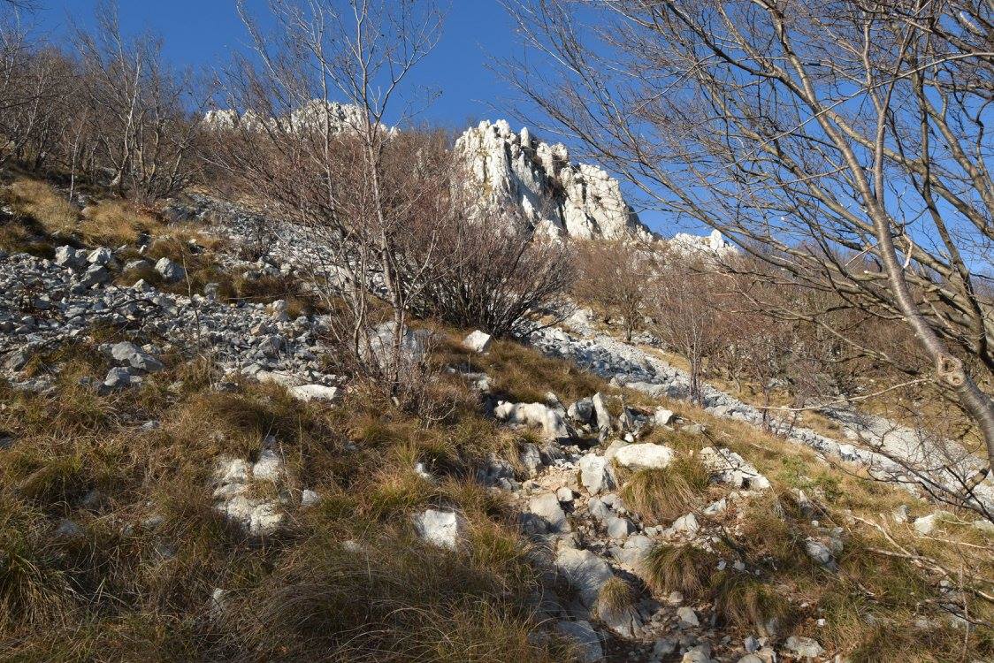
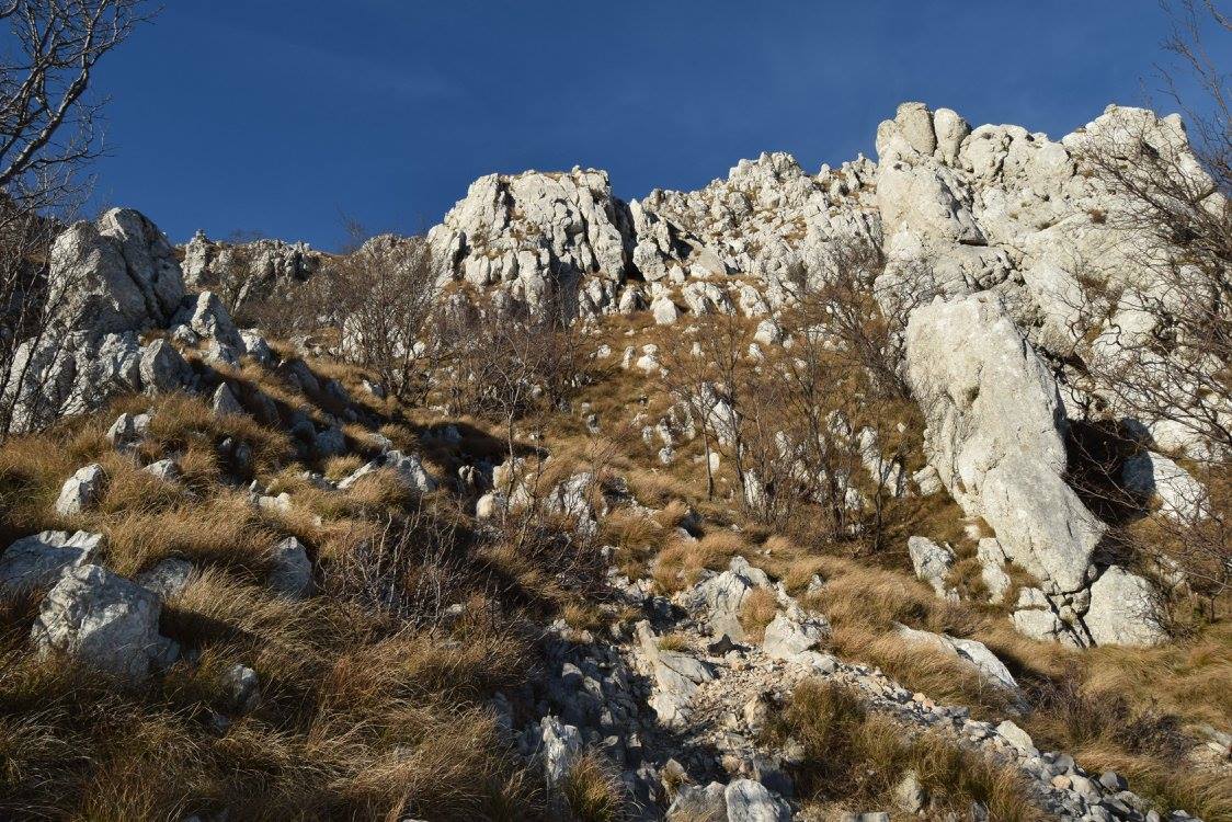
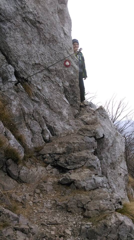
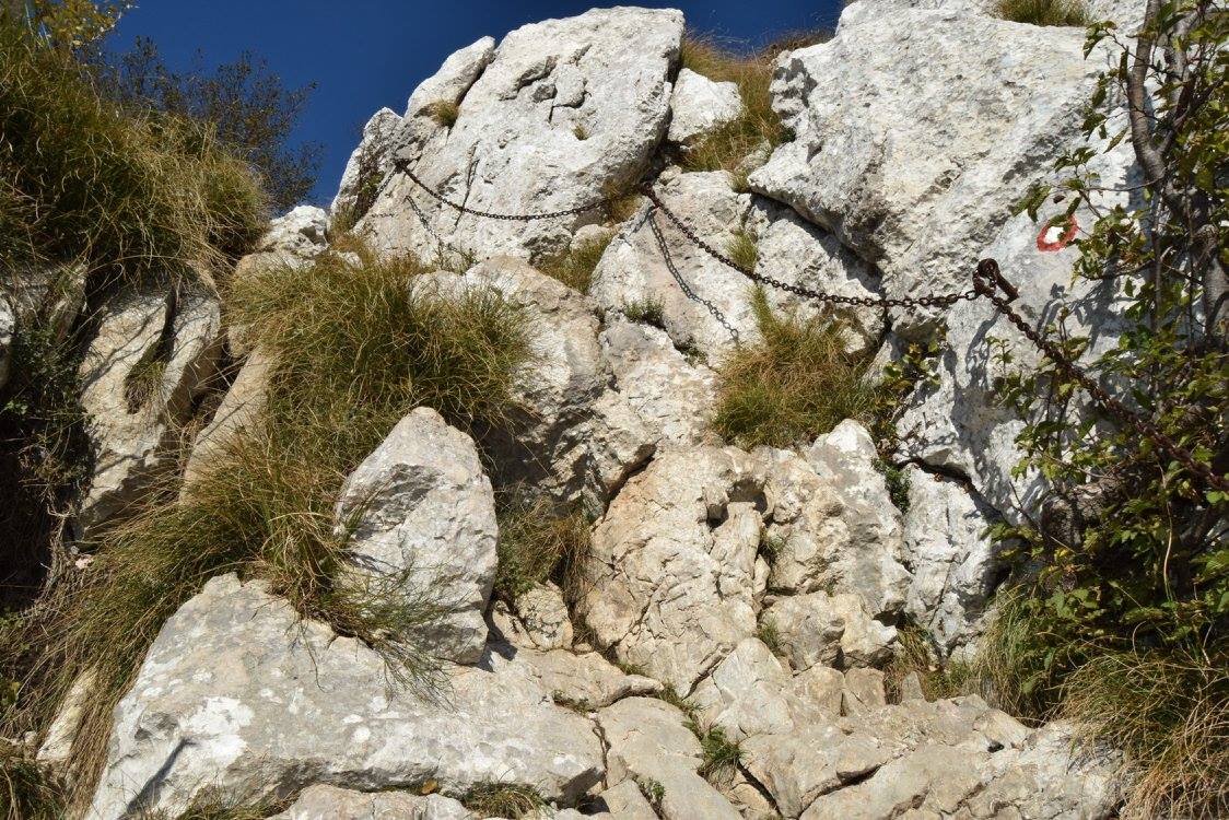
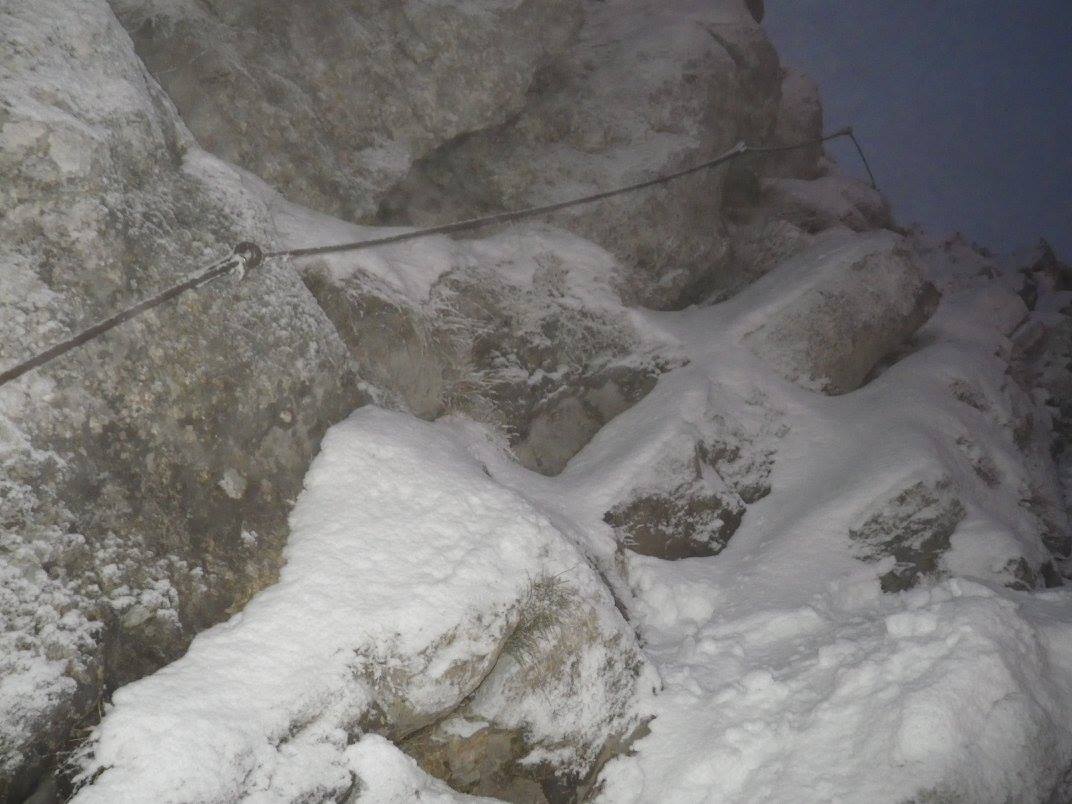
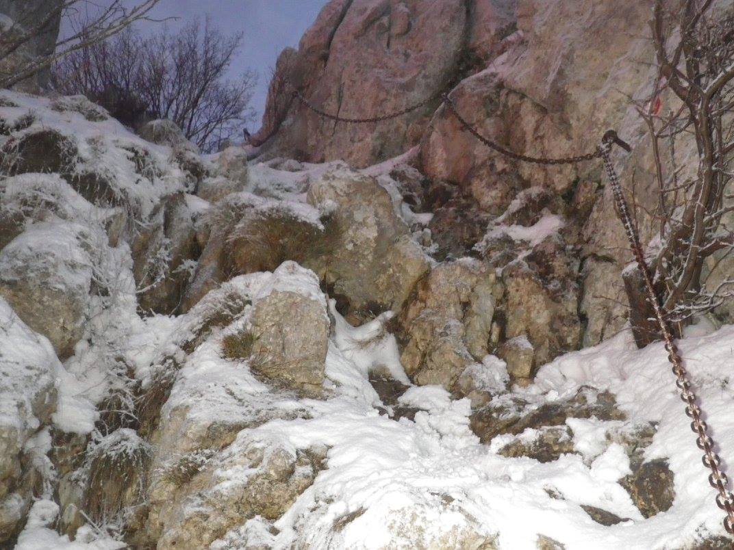
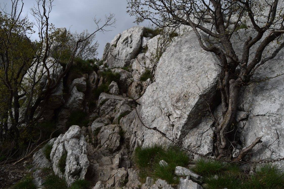
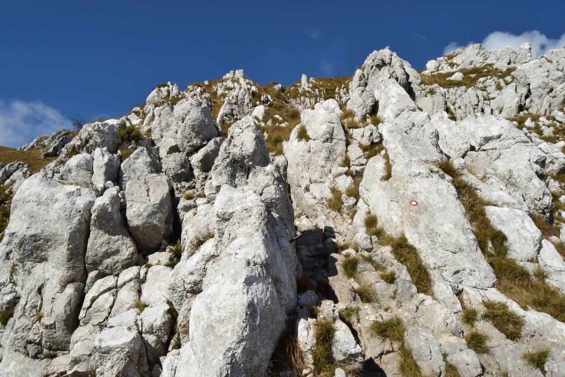
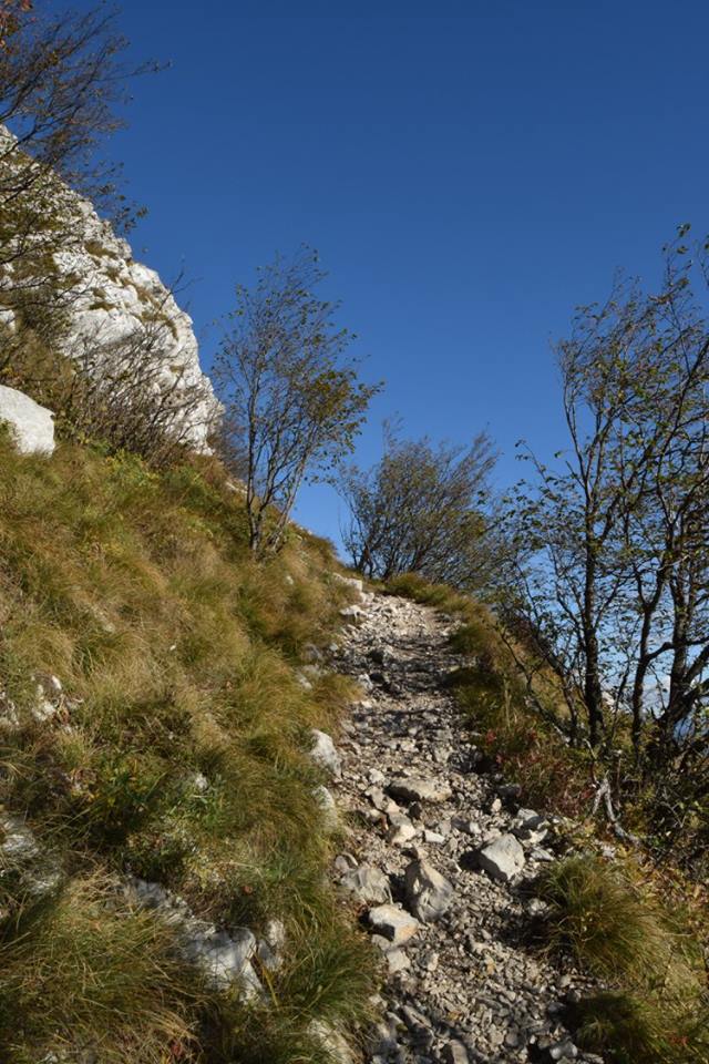
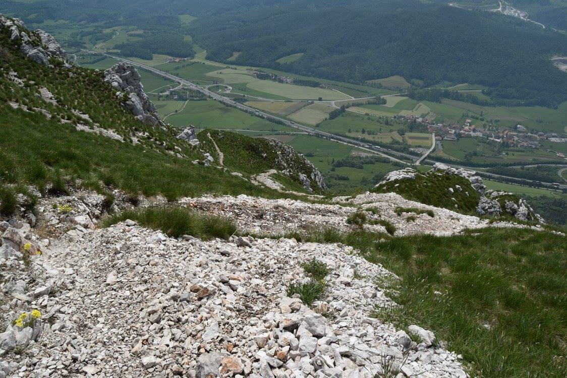
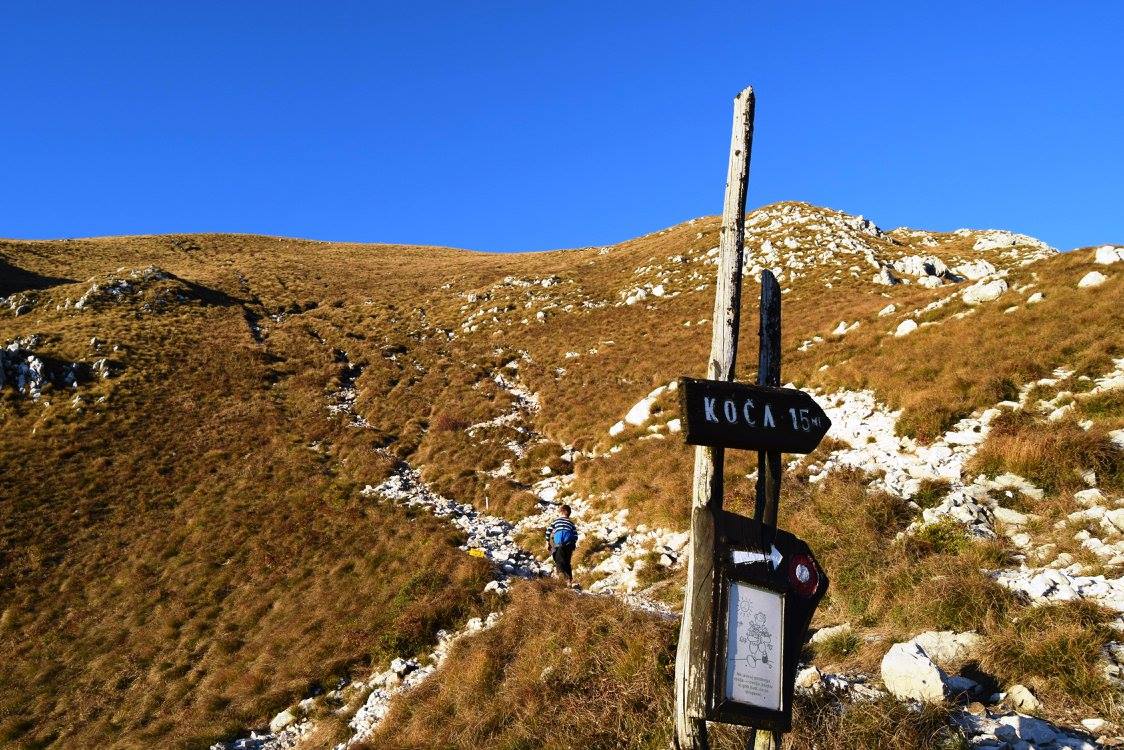
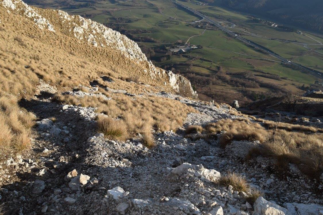
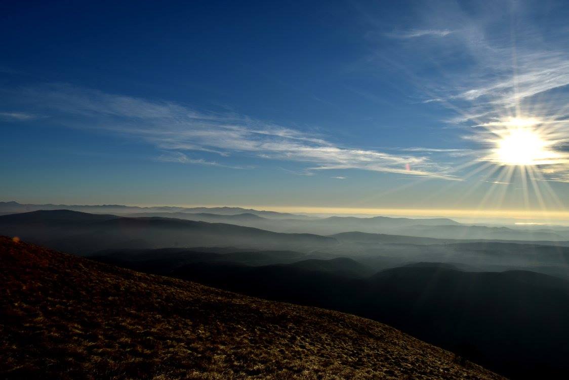
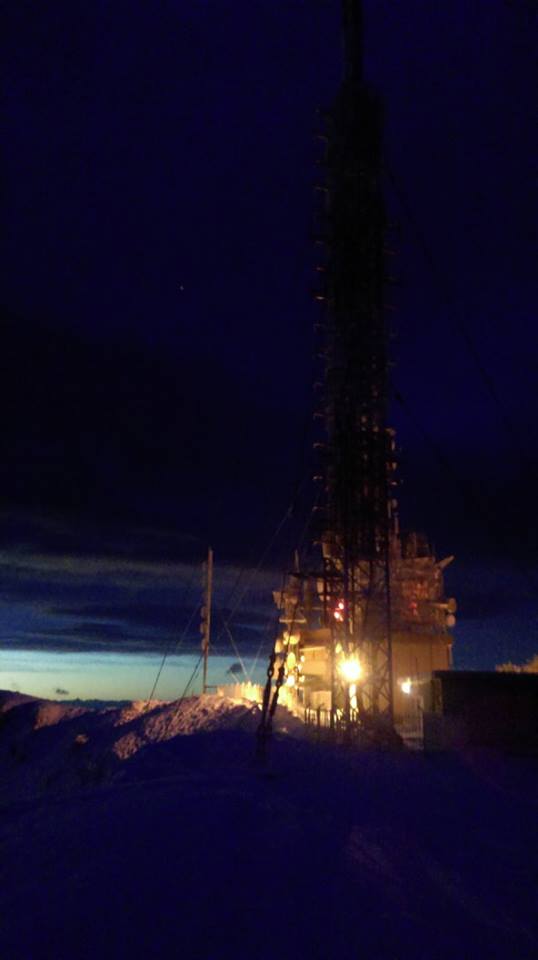
Setting out from the parking lot, we cross the bridge over the motorway running under and soon get to the first hiking trail signs. Turning left, we simply follow blazes or trail signs leading to the Vojko mountain cabin (Vojkova koča). Soon we get to a meadow, walk across it and come to a point where the trail splits into two trails. One is steep and the other is a more gently sloping path. We continue up the steep one (to the right), which leads through the shady forest and gradually steepens at first but gets really steep at a higher point where passages secured with steel cables begin. Special caution is required here (especially in wet weather). It tends to be windy, so windproof clothes are necessary to protect you from the cold. The view starts opening up ahead as we continue up the bare upper slope of the mountain. Finally, we reach the mast. The Vojko mountain cabin (Vojkova koča) sits right behind it hidden by the trees.

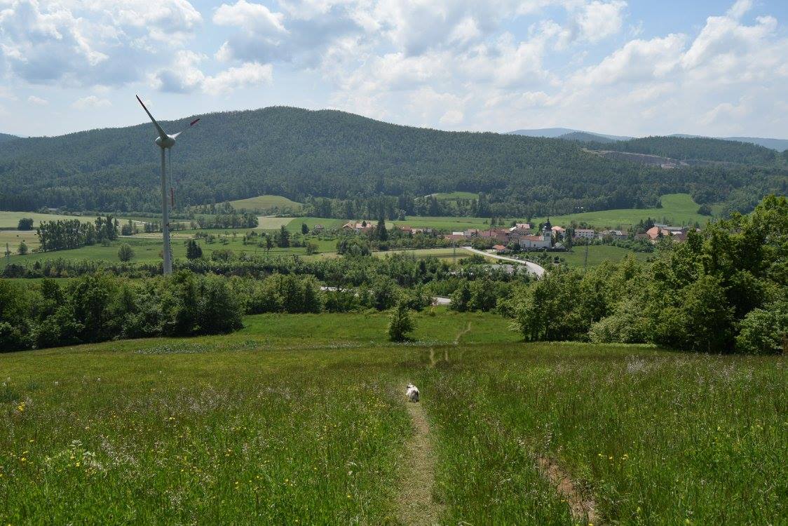
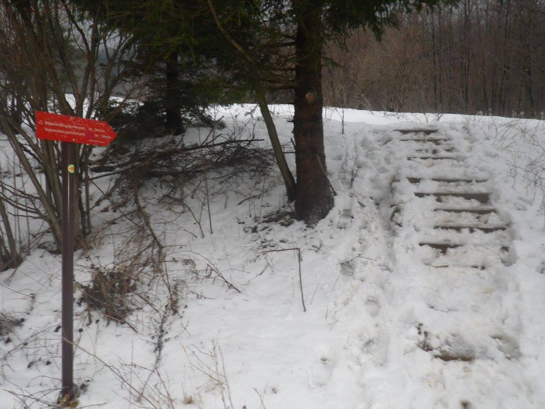
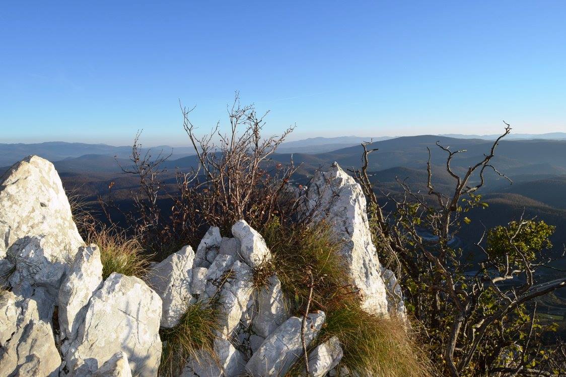
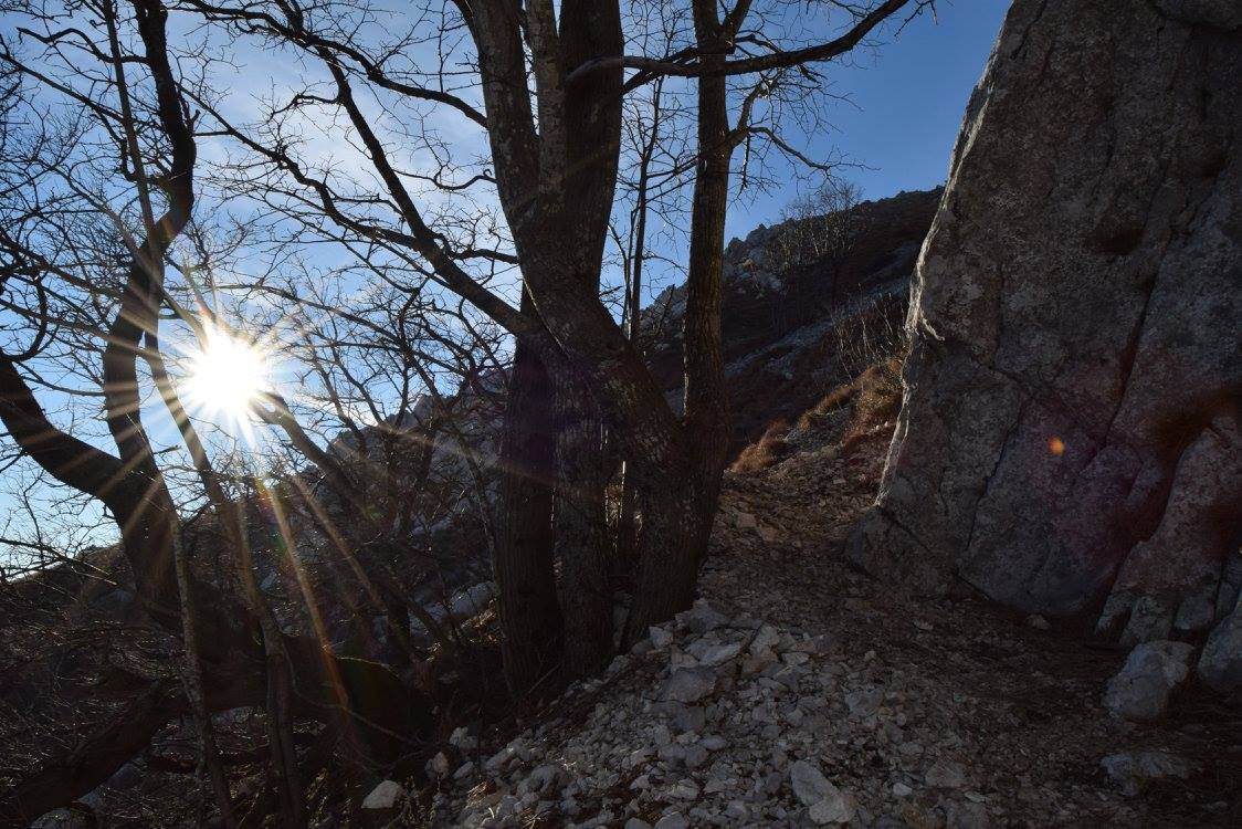
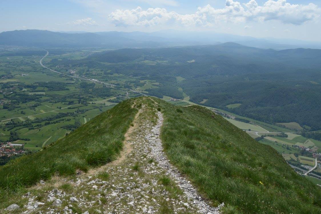
We start our descent at the transmitter mast and walk down the gently sloping path going over the grassy ridge in the direction of the Vipava Valley (to the north-east). Just before the church of St. Hieronymus, there is a signpost which points towards Razdrto (the village we started from). We soon reach the forest and hike back to the starting point along the technically non-challenging trail. Near the bottom there is a non signposted fork by a small meadow (at an altitude of about 750 m) where we have to be careful to keep left! Nearing the bottom of the slope, we pass through a small meadow (at an altitude of about 750 m) and eventually get to a point where the trail splits into two. There is no signpost, so we have to be careful to keep left!

Destination:

‘Vojkova koča’ (mountain cabin) (1240 m)

Duration:

Razdrto – The Vojko mountain cabin (Vojkova koča) on the Nanos hill (the steep slope): 1 hour and a half

Lunch at the cabin (not included in the price): 1 hour

The Vojko mountain cabin (Vojkova koča) – Razdrto (the gently sloping trail, past the church of St. Hieronymus): 1 hour and a half

Total time: 4 hours


Difficulty level:

3 – A medium hard hike up the steep slope of the Nanos hill. There are not any exposed sections along the trail (with the exception of one short passage), however there are a few secured ones with steel cables where you need to use your hands. People with vertigo will not be too happy about a few points along the trail. There are no technical challenges on the way back down the slope.


PRICE:

1 person = 100€
2 person = 80€/per person
3-5 person = 70€/person
6+ person = 60€/person

[:fr]La randonnée sur le Nanos du village de Razdrto

Le Nanos est un haut plateau karstique, qui s'élève avec raideur au-dessus du bassin de Postojna et de

la vallée de Vipava. Le plateau a plusieurs sommets dont le plus populaire est le point d'observation

situé près de l'émetteur et le refuge de montagne Vojkova koča. Vous monterez à Nanos par le sentier

plus raide et plus exigeant et vous descendrez par le sentier plus facile, qui dépasse une jolie église de

Saint Jérôme. S'il fait beau, la vue sur le paysage environnant est merveilleuse.

Point de départ :

Votre guide viendra vous chercher à votre lieu d'hébergement ou à l'autre lieu convenu.

Description de l'itinéraire :

En partant du parking, vous traverserez le pont sur l'autoroute et vous arriverez aux premiers panneaux

directionnels. Vous tournerez à gauche et suivrez des marques ou des panneaux qui montreront la

direction à prendre pour arriver au refuge de montagne Vojkova koča. Vous traverserez une prairie et

arriverez au point où le chemin se divise en deux, le sentier raide à droite et le sentier en pente douce à

gauche. Vous poursuivrez le chemin à droite, qui se lèvera à travers la forêt ombragée et deviendra de

plus en plus raide. Un peu plus haute, le sentier deviendra très raide et les passages seront sécurisés

avec des câbles en acier. Cette partie de randonnée demandera une attention particulière, surtout en

cas de pluie Il pourra très venteuse, donc il sera très important de porter des vêtements qui vous

protègeront du froid. Avec chaque pas, la vue deviendra plus magnifique. Quand vous monterez la

pente nue de la montagne, vous arriverez à l'émetteur. Le refuge de montagne Vojkova koča se trouve

juste derrière, caché par les arbres.

Vous commencerez votre descente à l'émetteur et descendrez par le sentier en pente douce qui

passera la crête herbeuse en direction de la vallée de Vipava (au nord-est). Juste avant l'église de Saint

Jérôme, un panneau qui indiquera le chemin vers Razdrto (le village à partir duquel vous aurez

commencé votre randonnée). Bientôt, vous arriverez à la forêt et remonterez au point de départ en

prenant le sentier facile. Au bas de la pente, il faudra faire attention à un croisement devant une petite

prairie à une altitude d'environ 750 m de prendre le chemin à gauche.

Destination :

le refuge de montagne Vojkova koča à 1240 m

La durée des parties de la randonnée :

Razdrto – le refuge Vojkova koča sur le Nanos (la pente raide) : 1 heure et demie

Déjeuner au refuge (non inclus dans le prix) : 1 heure

Le refuge Vojkova koča – Razdrto (le sentier en pente douce qui passe l'église de Saint-Jérôme) : 1

heure et demie

La durée totale : 4 heures


Niveau de difficulté :

3 – Une randonnée difficulté moyenne sur le sentier raide. Il n'y a pas de parties exposées du chemin à

l'exception d'un passage court, mais sur quelques points sécurisés avec des câbles vous devrez utiliser

vos mains. Les personnes ayant de vertige pourront avoir des problèmes sur quelques points du

chemin. Le chemin de la retourne n’a pas techniquement difficile.

PRIX :

1 personne = 100€
2 personnes = 80€ par personne
3 à 5 personnes = 70€ par personne
6 personnes et plus = 60€ par personne

[:]

Back to top